RESOURCES
What is a laser scanner and how does it work?
A terrestrial laser scanner captures millions of XYZ points by emitting laser pulses towards these points and measuring the distance from the device to the target. An infrared laser beam is directed towards the central point of a spinning mirror, causing the mirror to redirect the laser beam as it revolves vertically within the scanned environment. The scanner captures the dispersed light emitted by nearby objects as it reflects back into the device. The system rotates 360 degrees on a tripod and measures everything within its line of sight with a scan rate of up to 976,000 points per second.
Is it safe?
Our scanner falls into the Class 1 category of laser safety meaning it is non-invasive to humans, animals, or sensitive equipment. For further documented info on this please follow the provided link: Laser Classification
What are the advantages of having my project scanned?
Precision and Accuracy - 3D scanning provides highly accurate and detailed representations of objects or spaces, ensuring that every nuance is captured.
Time Efficiency - It significantly reduces the time required for data collection and modeling, making it ideal for complex projects.
Cost Savings - Minimizes the need for manual measurements and reduces the potential for errors, saving both time and money in the long run.
Versatility - 3D scans can be used for various applications, such as 3D printing, CAD modeling, quality control, and virtual walkthroughs.
Archival and Documentation - It creates a digital record of the project, which is valuable for future reference, analysis, and preservation.
Non-Intrusive - 3D scanning is a non-invasive technique, making it suitable for delicate or historical objects and environments.
Improved Communication - The 3D scans provide a clear and easy-to-understand visual representation, enhancing communication among project stakeholders.
Quality Assurance - It allows for thorough quality control and analysis, ensuring the project meets desired specifications.
Competitive Advantage - Utilizing 3D scanning can set your project apart from competitors and attract clients seeking cutting-edge technology and precision.
What Deliverables do you offer?
We offer a comprehensive range of deliverables designed to meet diverse project needs.
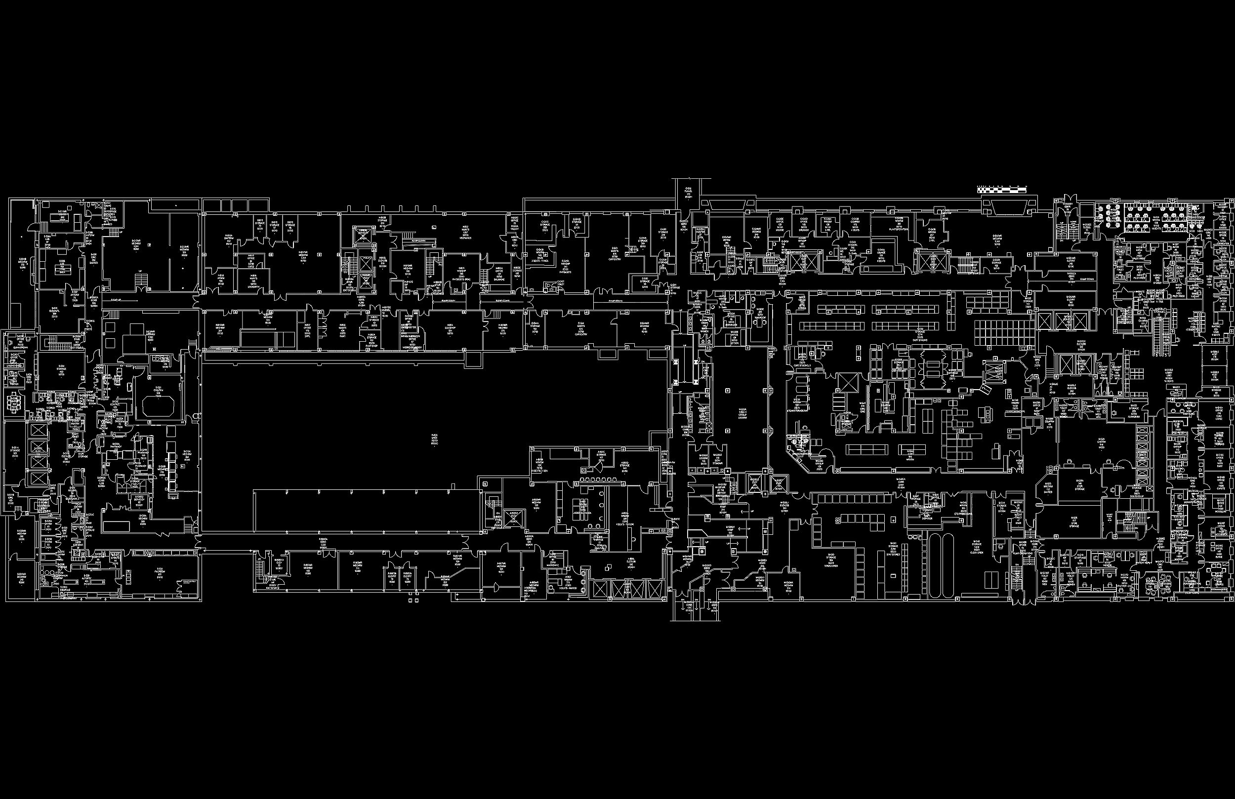
First, we provide Point Clouds, which are precise and highly detailed digital representations of the scanned environment or object, offering a valuable foundation for further analysis and design.
Additionally, 2D CAD Drawings translate this raw point cloud data into traditional two-dimensional plans, elevations, and sections, ensuring compatibility with existing design and documentation processes.
For those looking to take their projects to the next level, we offer 3D Building Information Modeling (BIM), enabling a holistic and immersive understanding of the space or object.
These deliverables not only enhance the accuracy and efficiency of your project but also provide a robust basis for informed decision-making and collaborative design, making our service a versatile solution for a wide range of industries and applications.
Request a quote
Interested in our services? Place a request through our contacts page and we will send you a project proposal in 1 to 3 business days.
Filling out the quote form
Receiving comprehensive information from our clients for a project proposal is paramount to delivering accurate estimates of both time and cost.
The more details we have about the project's scope, objectives, and specific requirements, the more effectively we can plan and allocate resources. This upfront clarity allows us to streamline the scanning process, choose the appropriate technology and techniques, and ensure that the final deliverables align precisely with the client's expectations.
Please review the following essential points of information that we need from you:
Square footage: helps us assess the general scale of a project and how long it will take to 3D scan.
Complexity of space: Laser scanning is line-of-sight technology and will accurately pick up objects in its immediate vicinity. Rooms, walls, beams, columns, mechanical equipment, desks, tables, chairs, and any other obstructions will greatly factor into total scanning time. Please try to be as precise as you can when describing the conditions of a site and what we can plan to expect once we are there.
Level of Development (LOD): used primarily to determine how detailed and accurate the BIM model should be. This influences quality of the scan data which may take longer if the LOD is higher. Please review the section below detailing the characteristics of each level.
Level of development (lod)

LOD is a framework used in the design and construction industry to define the level of detail and accuracy of information within a Building Information Modeling (BIM) model or project at different stages of its development. The concept of LOD helps project stakeholders understand what to expect from the model at various project milestones. While there isn't an exact universal standard for LOD, the American Institute of Architects (AIA) and the Associated General Contractors of America (AGC) have provided guidelines.
Here are some common LOD levels and their descriptions:
LOD 100:
Represents the most basic and initial stage of project development.
At this level, the project is in the conceptual phase, and it includes basic information such as location, approximate size, and overall shape.
It provides a high-level understanding of the project's intent but lacks detailed design or construction information.
LOD 200:
Schematic design phase.
At this level, the model is primarily a placeholder for objects or elements with approximate sizes, shapes, and locations.
It provides a basic representation to help with conceptual design and spatial planning but lacks detailed information.
LOD 300:
Design development phase.
In this level, the model becomes more refined. It includes accurate geometry, sizes, and shapes of building components.
Information related to systems and assemblies, such as walls, doors, windows, and structural elements, is defined more precisely.
LOD 350:
Construction document phase.
At this level, the model includes comprehensive information about the building components and systems.
It includes specific details like product types, quantities, sizes, and performance criteria.
This level is used for generating construction documents and quantities.
LOD 400:
Construction phase.
At this level, the model includes highly detailed and accurate information.
It encompasses fabrication-level details, including precise measurements, connections, and materials.
Contractors and subcontractors use LOD 400 models for fabrication and construction purposes.
It's important to note that the specific definitions and requirements for each LOD level can vary depending on the project, the BIM standards used, and the agreement among project stakeholders. The purpose of LOD is to establish a clear understanding of the level of detail and information required at each stage of a project to support decision-making, collaboration, and project execution.
Further info regarding scanning
Pre-scanning: The client will need to provide access to applicable site plans, as-builts, drawings prior to the start of the field work and a site contact to direct our on-site Technician to the scan area and be able to answer site-specific questions as needed.
Point Cloud Alignment: The resulting point cloud will not be georeferenced unless the client’s surveyor provides the control points within the scanning area at the time of scanning or hire SWS to perform the work.
Color Capture: Color scans can only be completed in areas which have adequate lighting. Should site lighting prove inadequate for good color data collection then we switch to intensity based collection.
Targets: If necessary, we will require the ability to be able to set targets on site that will remain in place and undisturbed for the course of the project so that with each mobilization there is no need to have to re-establish new control points.
Building Access: Any rooms or areas that are locked or unable to be accessed at the time of scanning will not be scanned or modeled.
Additional Questions
Please reach out to us if you have any questions and or concerns that were not covered above by clicking the link below to our CONTACT page.