
About Us
Scan Work Studio is an architectural survey company that offers state of the art LiDAR scanning and 3D modeling expertise tailored for a diverse range of projects.
With a foundation rooted in Architecture and Development, we possess a distinct vantage point in the realm of survey endeavors. By integrating scanning, modeling, design, and development proficiency, we save you the trouble of hiring multiple consultants for your project. This streamlines the design process and encourages a more collaborative workflow.
services
Lidar and 3d laser scanning
LiDAR, which stands for Light Detection and Ranging, is a technology utilizing laser pulses to gauge distances and generate a 3D map of surroundings. During LiDAR scanning, a laser emits light pulses that rebound off objects in the environment and are detected by a sensor. By assessing the time it takes for the laser pulses to return, LiDAR can accurately determine the distances between the sensor and the objects in the environment.
We utilize state-of-the-art 3D scanning technology to meticulously document existing spaces, capturing every intricate detail with precision.
Deliverables
We offer a comprehensive range of deliverables designed to meet diverse project needs. From highly detailed point clouds capturing precise spatial data to 2D CAD drawings that provide essential plan views, and sophisticated 3D BIM models that enable immersive visualization and analysis, our deliverables cater to a wide spectrum of applications and industries.
Whether you require accurate measurements for renovation, architectural blueprints for construction, or immersive digital replicas for design and analysis, our deliverables are tailored to empower your projects with data-driven precision and versatility.
point cloud
A point cloud is created from 3D laser scanning and it is a digital representation of the surface geometry of an object, environment, or scene. It is composed of millions of individual data points that collectively define the shape, position, and spatial characteristics of the scanned subject. Each data point in the point cloud is determined by the laser scanner's measurements of the distance from the scanner's location to the surface of the object at a specific point.
We can provide you with both RCS and RCP format files.
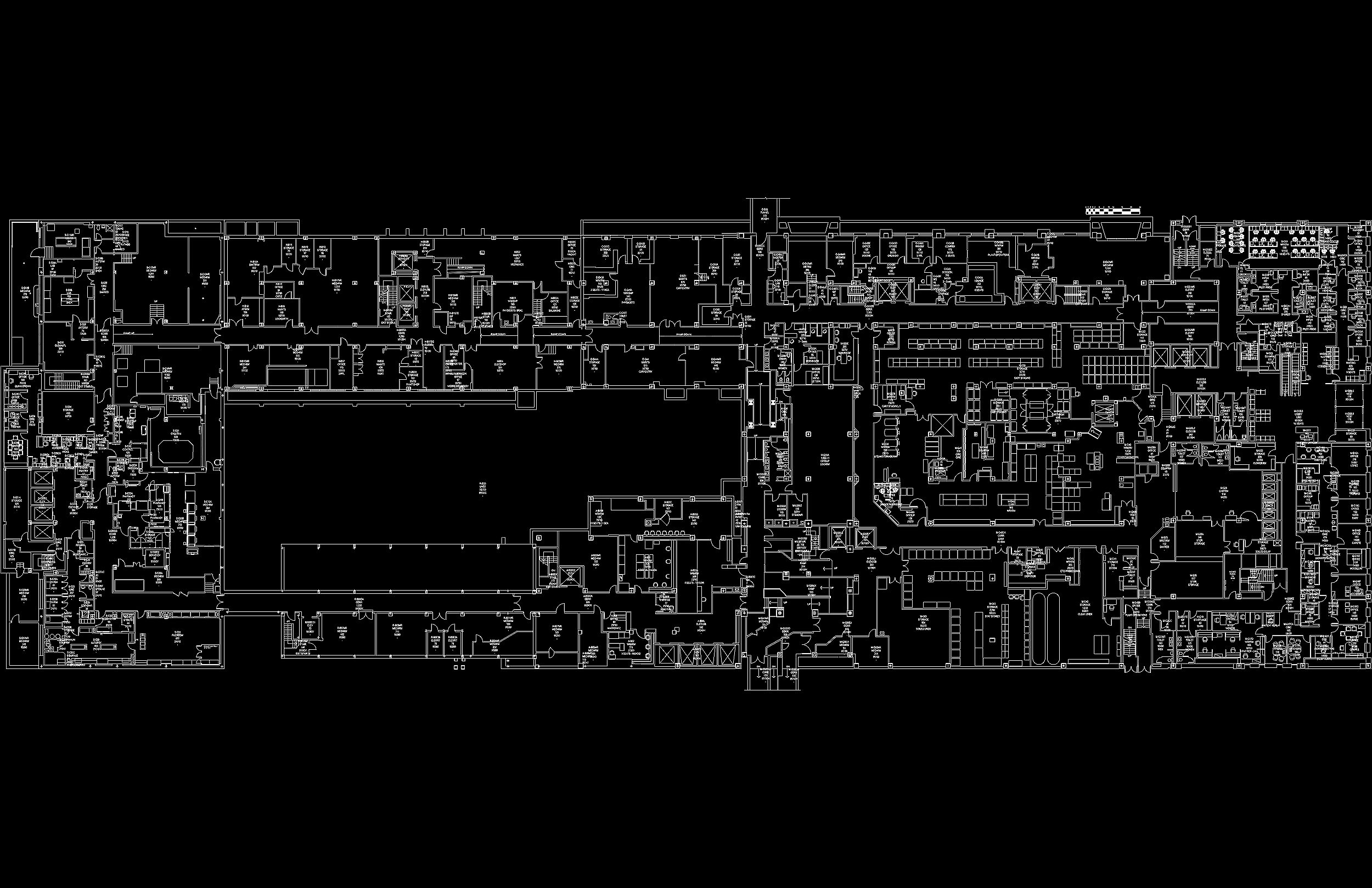
2d cad drawings
2D Computer-Aided Design (CAD) drawings are digital representations of objects or spaces created on a two-dimensional plane using specialized software. These drawings use lines, shapes, and text to convey precise technical information, such as architectural plans, mechanical schematics, or electrical layouts.
These drawings are widely used in engineering, architecture, and various industries for design and documentation purposes, allowing for detailed and accurate representations of objects without the depth and complexity of 3D models.
Additional services

3D Bim models
3D Building Information Modeling (BIM) models are digital representations of physical structures, integrating geometric and non-geometric data to provide a comprehensive view of a building's design, construction, and operation.
These models enable architects, engineers, and construction professionals to collaboratively visualize, plan, and manage every aspect of a project in a spatial context, enhancing efficiency, accuracy, and communication throughout the entire building lifecycle.


3d printing
Point cloud data serves as the foundational blueprint for 3D printing models. By capturing and processing countless individual points in a three-dimensional space, point cloud data provides the precise spatial coordinates necessary to recreate objects or environments in digital form.
Through specialized software, this data can be converted into a 3D model, comprising interconnected vertices and surfaces that faithfully replicate the original subject.
These models can then be further refined, scaled, and customized to suit specific 3D printing requirements, resulting in tangible physical replicas with remarkable precision and accuracy.